


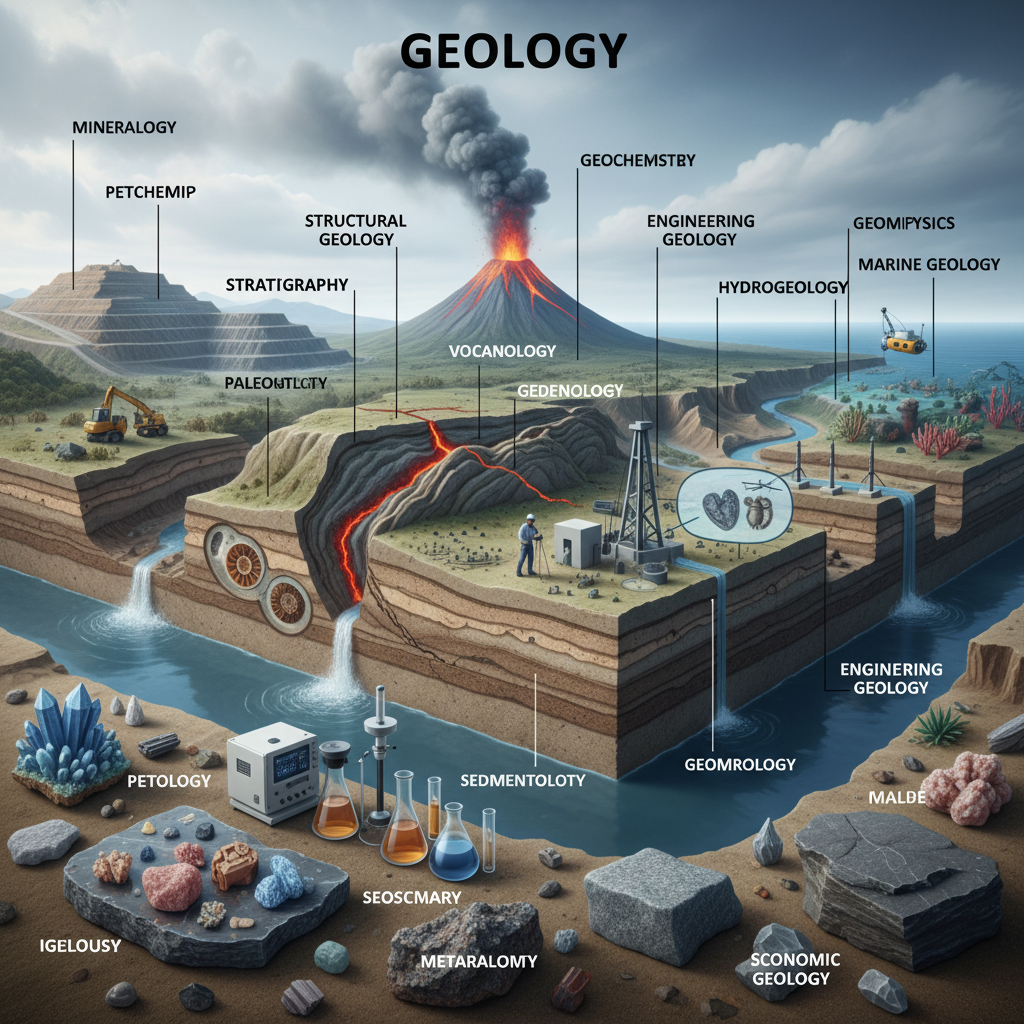
Marine geologists are making remarkable strides in mapping and interpreting the seafloor, with recent expeditions revealing previously unknown underwater mountains, hydrothermal systems, and ancient geological features that are rewriting textbooks. As ocean exploration technology advances, scientists are uncovering details about Earth’s most inaccessible terrain — the roughly 70% of our planet that lies beneath the sea.
A New Era of Seafloor Discovery
The Schmidt Ocean Institute and collaborating research teams have spent recent months conducting deep-sea expeditions that have produced some of the most detailed seafloor maps ever created. Using advanced multibeam sonar systems aboard research vessels like the Falkor (too), scientists have charted vast stretches of previously unmapped ocean floor, identifying seamounts, canyons, and geological formations that had eluded researchers for decades. According to Schmidt Ocean Institute, these expeditions are part of an ambitious global effort to map the entire ocean floor by 2030.
The work supports the broader Seabed 2030 initiative, a collaborative project between the Nippon Foundation and the General Bathymetric Chart of the Oceans (GBCO) that aims to produce a definitive bathymetric map of the world’s oceans. As of recent updates, only about 26% of the seafloor has been mapped to modern standards — a stark reminder of how much remains unknown about our own planet.
Why Seafloor Mapping Matters
The significance of these discoveries extends far beyond academic curiosity. Detailed bathymetric data informs everything from tsunami modeling and submarine cable routing to fisheries management and climate science. Underwater mountains, or seamounts, function as biodiversity hotspots, channeling nutrient-rich currents that support entire ecosystems. Each newly identified seamount represents a potential new habitat that scientists can study before human activity — particularly deep-sea mining — disrupts these fragile environments.
Recent expeditions off the coasts of Chile, the Pacific Ocean’s Salas y Gómez Ridge, and the Nazca Ridge have revealed dozens of previously uncharted seamounts. Some rise more than 3,000 meters from the seafloor, hosting cold-water coral gardens, sponge fields, and species entirely new to science. The National Oceanic and Atmospheric Administration has emphasized that such discoveries underscore the need for thorough scientific assessment before commercial exploitation of deep-sea resources is allowed to proceed.
Hydrothermal Vents and Mineral Resources
Beyond mapping, marine geologists are also examining the geochemistry of hydrothermal vent systems — seafloor features where superheated, mineral-rich fluids escape through volcanic fissures. These vents host extremophile organisms and concentrate valuable metals such as copper, zinc, gold, and rare earth elements. As global demand for critical minerals surges to support the energy transition, the deep ocean has become a focal point of both scientific interest and geopolitical tension.
The International Seabed Authority, which regulates mineral-related activities in international waters, continues to weigh applications for exploration licenses while environmental groups warn that ecosystems surrounding hydrothermal systems could be irreversibly damaged by mining operations. Marine geologists’ baseline data is essential to these debates, providing the scientific foundation for evidence-based policy.
Climate Records Locked in Sediments
Another frontier in marine geology involves drilling and sampling deep-sea sediments, which preserve detailed records of Earth’s climate history. Cores extracted from the seafloor contain microfossils, volcanic ash layers, and chemical signatures that allow researchers to reconstruct past ocean temperatures, ice sheet dynamics, and atmospheric carbon dioxide levels stretching back millions of years. These records are crucial for calibrating climate models and understanding how today’s warming compares to past episodes.
Looking Ahead
As technology advances — including autonomous underwater vehicles, improved satellite altimetry, and AI-assisted data processing — the pace of discovery is expected to accelerate. The next several years could see a transformation in our understanding of plate tectonics, biodiversity, and Earth’s geological evolution. Yet the race to map and understand the seafloor is also a race against time, as commercial pressures mount on these last truly unexplored regions of our planet. How nations balance scientific exploration, conservation, and resource extraction will define the next chapter of marine geology.
For more stories on Earth sciences, ocean exploration, and the latest geological discoveries, visit science.wide-ranging.com for related coverage and in-depth reporting.